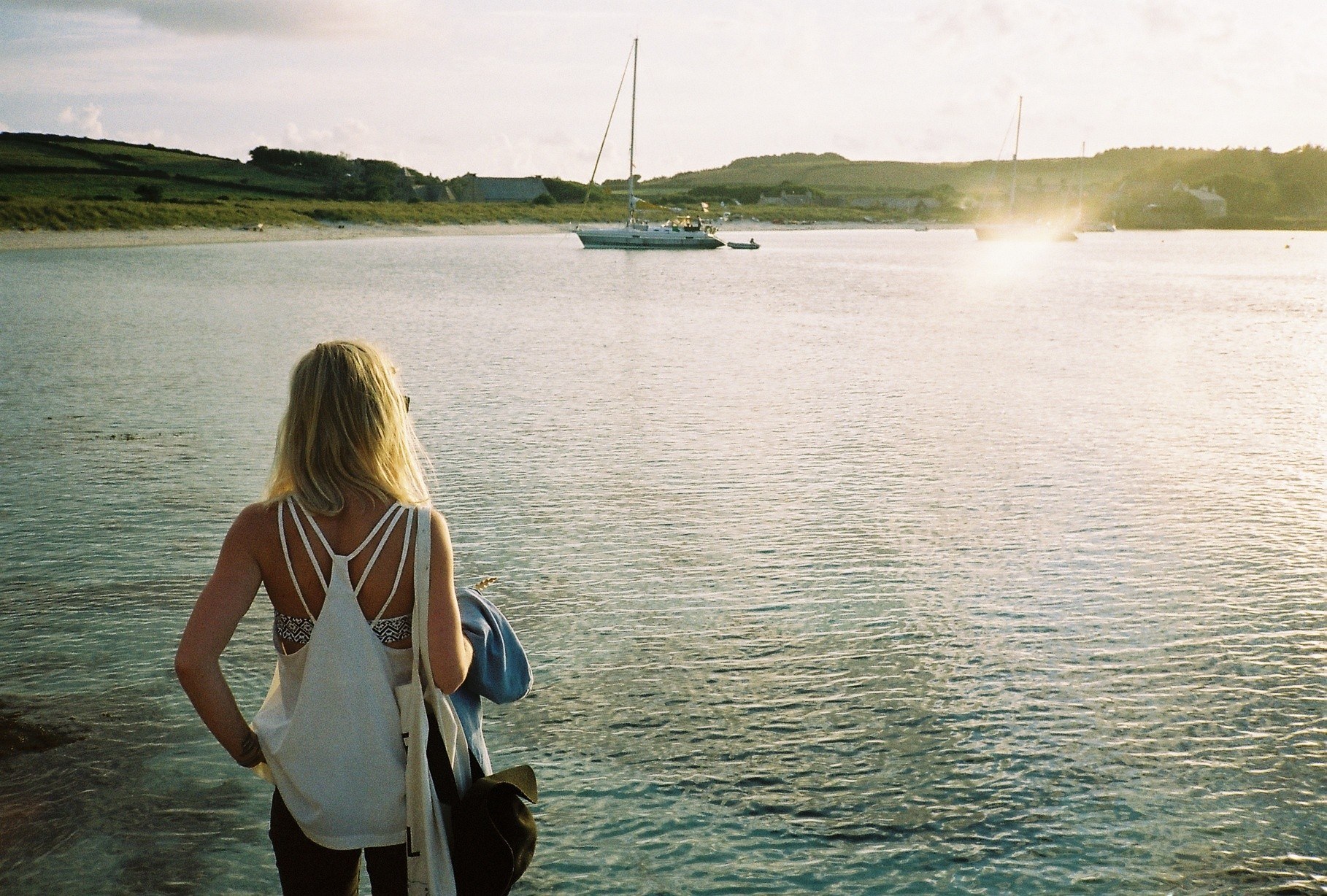
Walking to Bryher
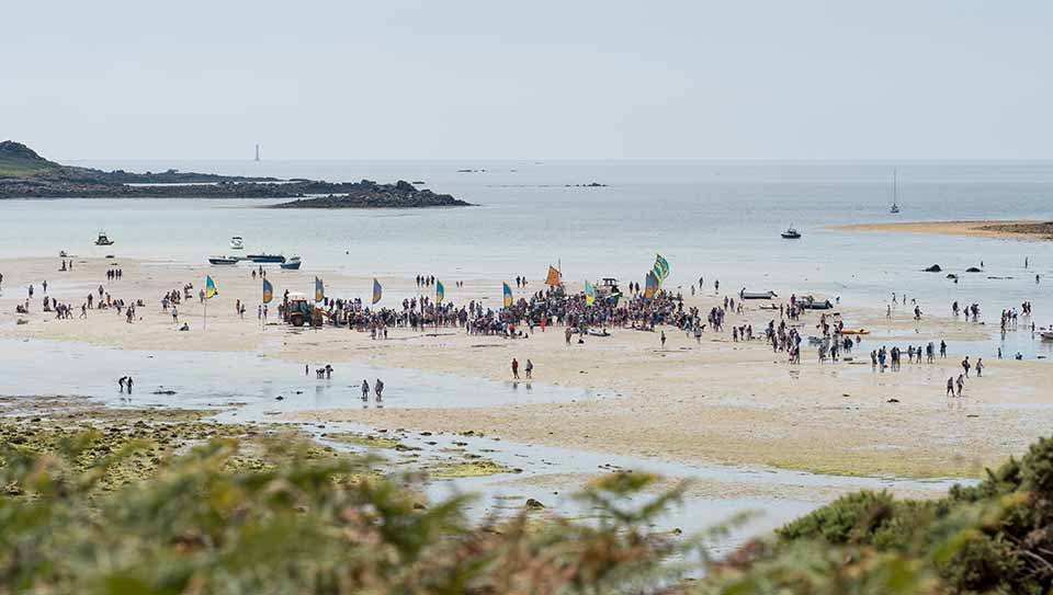
Walking between Tresco and Bryher on a spring tide is one of the great island activities. However many times you do it, the quiet thrill of defying the natural order of things never really leaves you.
There’s something vaguely biblical about traversing a stretch of land where once there was sea. And it is right that you should feel this way. This in an astronomical event involving monumental forces, which for a short period of time change the world as you know it.
Tresco and Bryher may be close neighbours but they are most definitely two separate islands. They may share a school but each island has its own identity that goes beyond the stretch of water that lies between them, from their landscapes to their churches. Yet, for a few hours each year the respective insularity of Tresco and Bryher dissolves as the islands’ natural barrier disappears and the two become one.
Clearly the most important thing in contemplating a walk across the channel to Bryher is that there should be no water. Obvious as this may seem there are many times when the tide is almost low enough but you would be ill-advised to attempt a crossing. The golden rule is that low tide should be 0.5m or less. Very low tides such as these only occur during the year’s most powerful spring tides. On the day itself, atmospheric pressure and wind direction can influence the strength of the tide too, so if in doubt check with our Harbourmaster Henry Birch, the Island Office or Bryher Boats. Tide tables give an exact time for low tide as well as depth.
Tresco’s point of departure for the walk to Bryher is Flood Hatch and the route is a crescent as you aim for Samson until level with Samson Hill on Bryher before turning in towards Green Bay and Southward.
The last time I walked across the day was absolutely still with not even a hint of a breeze. Though there was no break in the high, white cloud, the sand flats between Tresco and Bryher still gleamed as light reflected off the pools, puddles and rivulets left behind by the sea.
On such quiet days, you can hear the tide receding, the thousands of gurgling trickles of water, making their way in pursuit of the ocean.
Tiny marooned fish bury themselves to avoid the gulls and beds of seaweed lie in clumsy heaps like an abandoned harvest. Standing midway, it is satisfying to consider that only six hours earlier this vast expanse of sand was under as much as 5m of water.
In the summer months, walking the channel is rarely a solitary activity. Not only do you see other pedestrians but there is always a smattering of shrimpers as well as a few herring gulls padding about on the freshly-exposed sand like an extended buffet table. In addition to the human traffic, tractors, cars and quad-bikes can sometimes be seen nipping between the islands where usually only boats can sail.
My own experience of driving across to Bryher is limited to a couple of trips in a large dumper truck. The front bucket was full of manure for my mother-in-law’s garden. The dumper’s high seat was a great vantage point from which to appreciate the view but I also learnt that the sand flats are not quite as flat as I had imagined. Long sections are beautifully furrowed by the movement of the sea. Currents, tides, wind and waves have made the sand in their own image. The effect was beautiful to behold, though the juddering it produced on a manure-laden dumper proved distracting. At times it felt like driving across a giant washboard.
Spring tides offer not only unusual footpaths to other islands but a journey back in time. With every centimetre dropped by the tide, years fall away from the landscape. For thousands of years the islands have been sinking and the sea levels rising, so low tide is topographical time travel. Around 3000BC, for instance, all of the inhabited islands of today, with the exception of St Agnes, would have formed one huge super-island.
The land mass now exposed at low tide represents high tide thousands of years ago. Spring tides uncover rocks that are not simply marine geology. Amongst them are the remains of human habitation, stones that have been carefully positioned by human hands. As well as fish traps, there is evidence of hut circles and field systems beneath the high tide, seaweed and sand. Walk across the channel and you are walking through a submerged landscape of Bronze Age farmland.
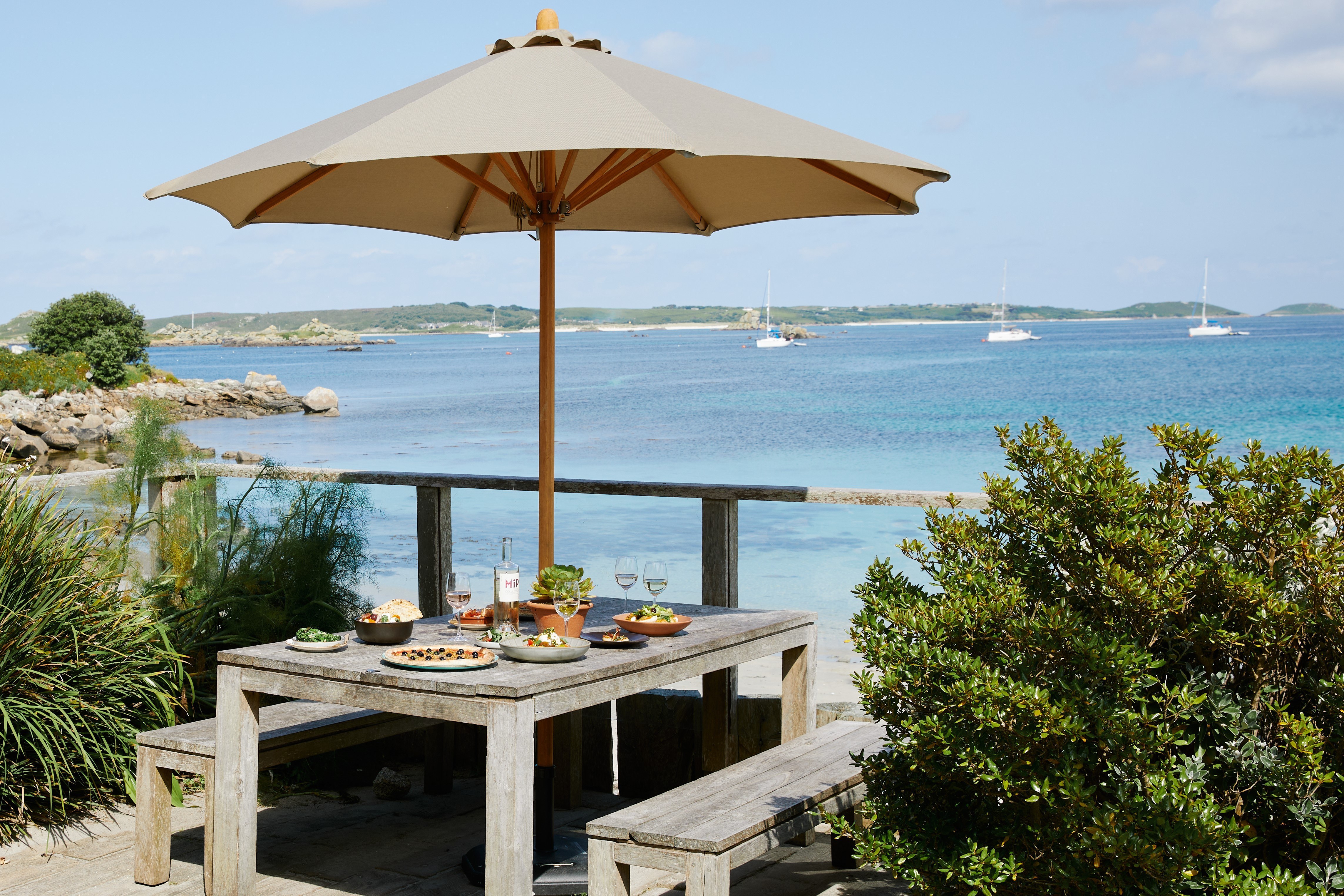
One of the most useful things about spring tides is that daytime low tide falls at lunchtime. A walk across the channel sets you up nicely for refreshment, be it lunch with a glass of wine at Hell Bay on Bryher or the Flying Boat on Tresco, a picnic or a pint at the New Inn or Fraggle Rock.
Did you know?
Spring tides are caused by syzygy. Syzygy (Scrabble word score 25) describes the alignment of three celestial bodies in a straight line. Tides are caused by the gravitational actions of the Sun and the Moon upon the Earth.
Only when these three are in syzygy does a spring tide occur. The sum force of both the sun and the moon increases the amount of water displaced at high and low tides. These are known as spring tides. Should these gravitational forces be working against each other then the amount of water displaced decreases. These are neap tides.
